Rehabilitation of Taman Aman Lake Project
Duration: September 2024 – August 2027 (post-project monitoring will be continuing until 2034)
Funder: A project by Google with funding through Bonneville Environmental Foundation, USA
Partners: Petaling Jaya City Council (MBPJ)
Malaysia's lakes and reservoirs are significant water resources that support the nation's socioeconomic development. In addition to serving as water sources and hydropower generators, lakes play a crucial role in providing freshwater habitats and natural flood mitigation.
Lake restoration is therefore critical, especially in urban areas. GEC promotes community-based lake restoration, recognising that human involvement and soft approaches are just as vital as hard engineering solutions. At present, Taman Aman Lake primarily serves as a flood retention area, with recreational use as its secondary function. The lake retains water, with active outflow occurring during heavy precipitation when the water overflows. Due to low water inflow, the lake is prone to water quality issues caused by runoff from surrounding catchments. Like many urban lakes, Taman Aman Lake experiences excessive algal and aquatic plant growth caused by high nitrogen (N) and phosphorus (P) levels from polluted runoff.
Reviving Taman Aman Lake is essential to improve its water quality and restore its ability to support recreational use, ensuring it meets its full potential as a valuable community resource.
Objective
The main objective is to rehabilitate Taman Aman Lake through nature-based solutions, lake ecosystem health concept and smart partnerships with key stakeholders.
- To assess lake conditions
- To implement nature-based solutions as well as pollution control initiatives
- To enhance water quality and biological aspects of the lake
- To promote ownership and sense of belonging by involving relevant stakeholders
- To encourage stakeholders especially the local communities to adopt, protect and monitor the lakes.
Key Activities
- Project and stakeholder consultation
- Conduct rapid environmental assessment within the Taman Aman Lake
- Conduct lake health assessment at selected area as a baseline data
- Pollution management at the source
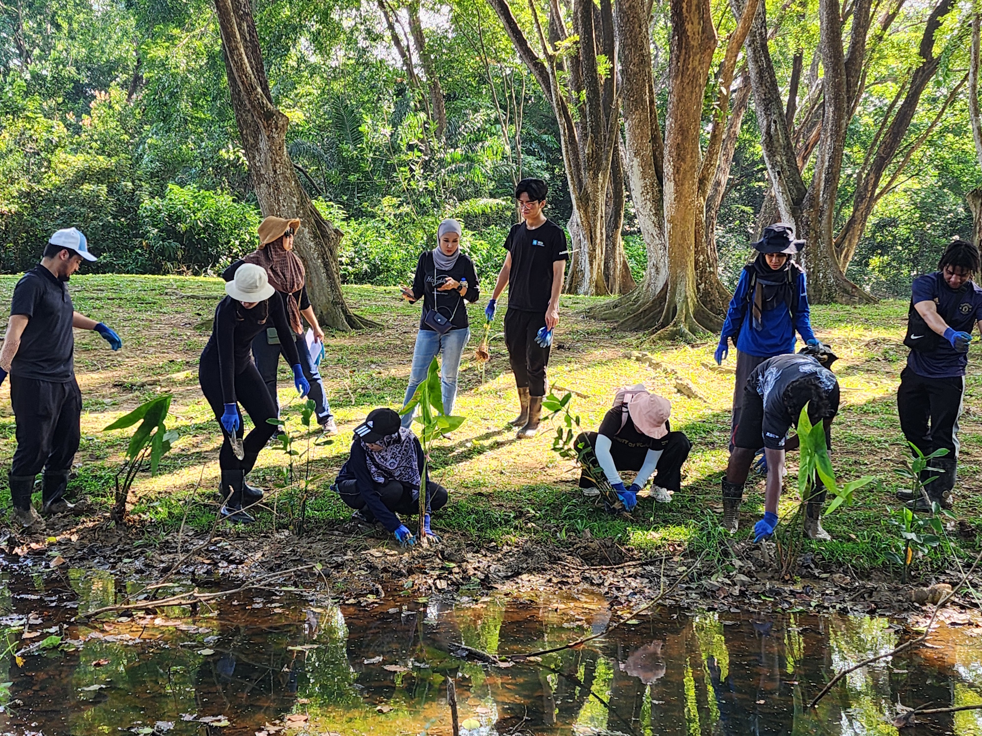
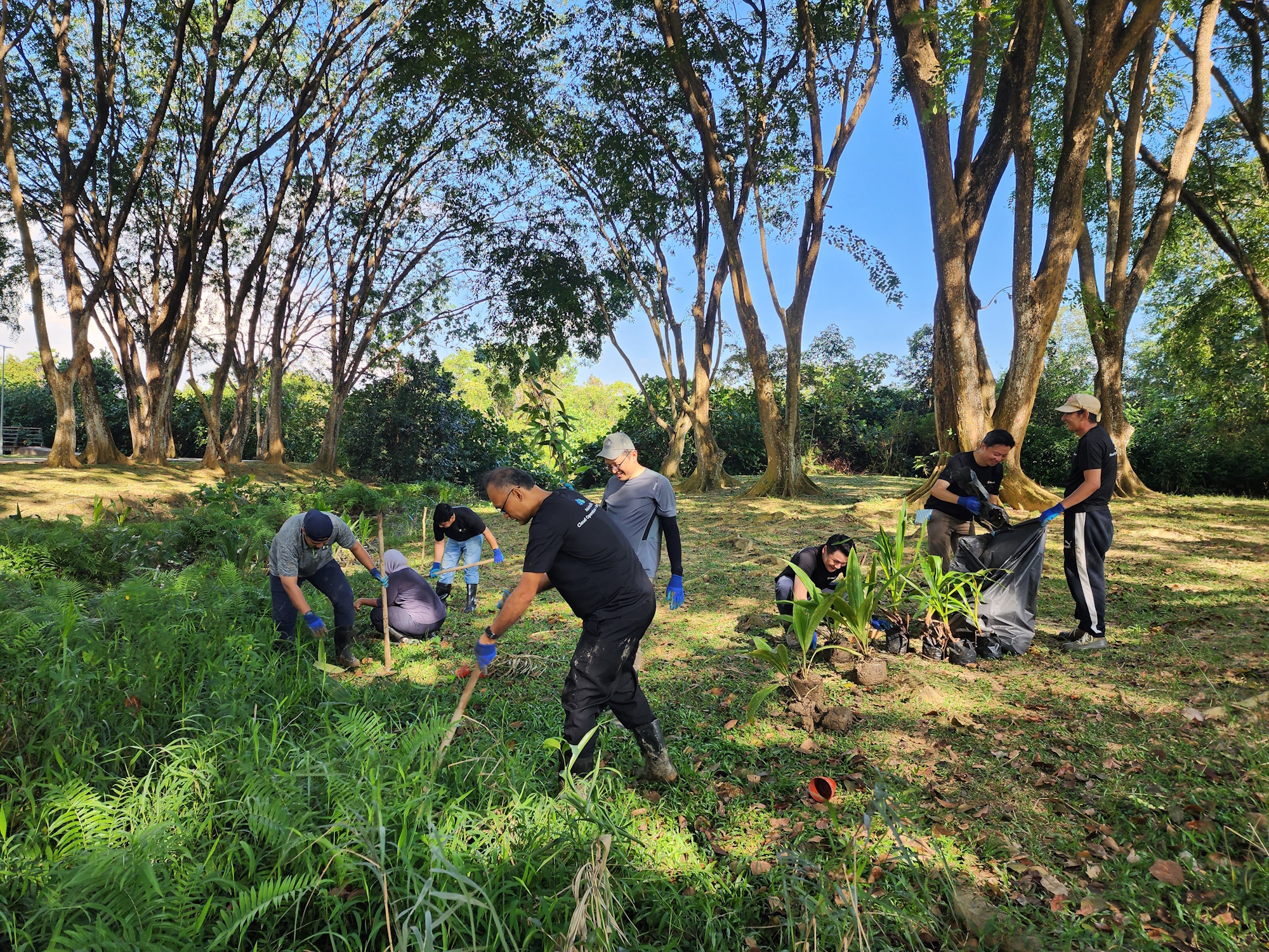
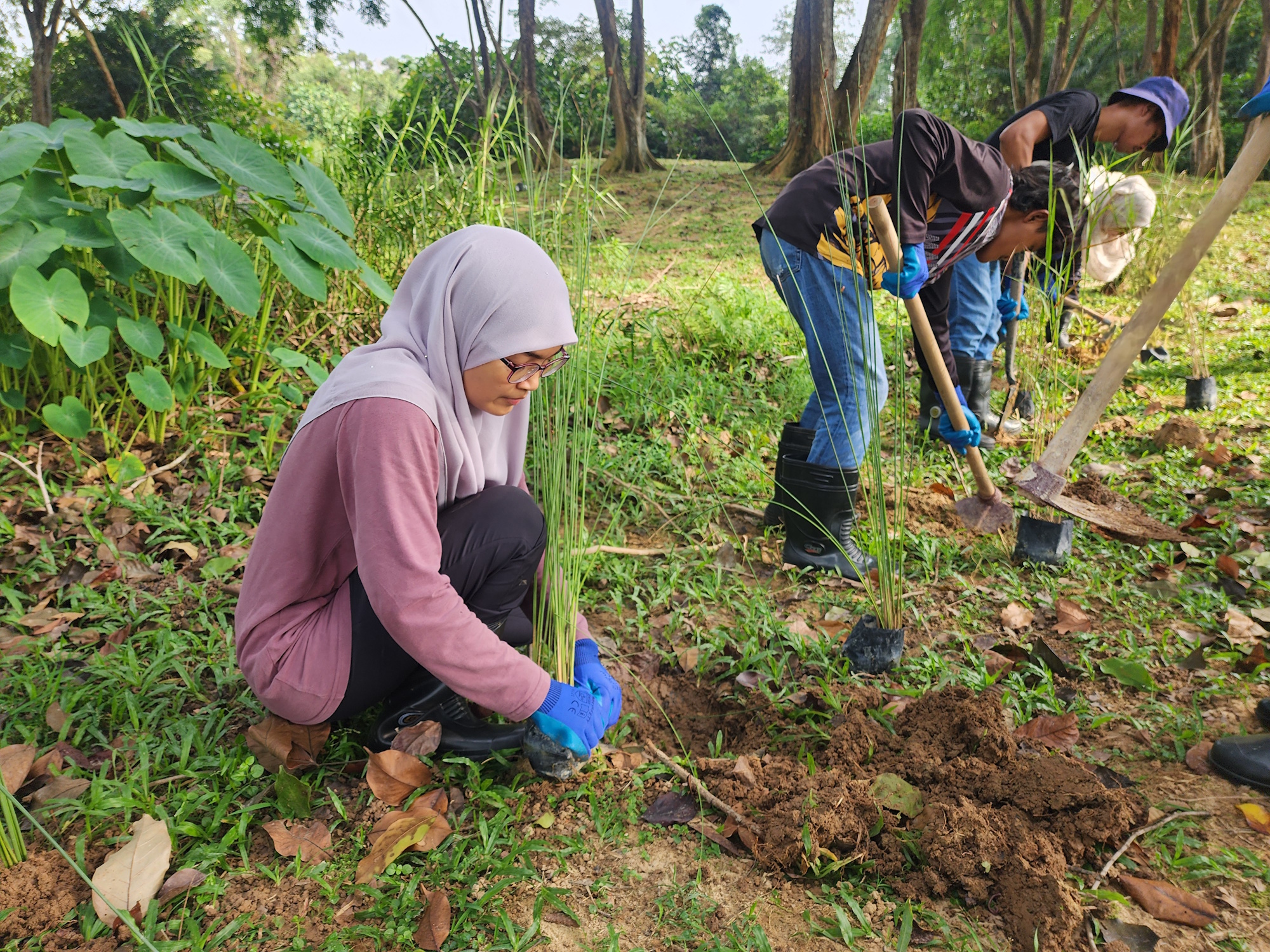
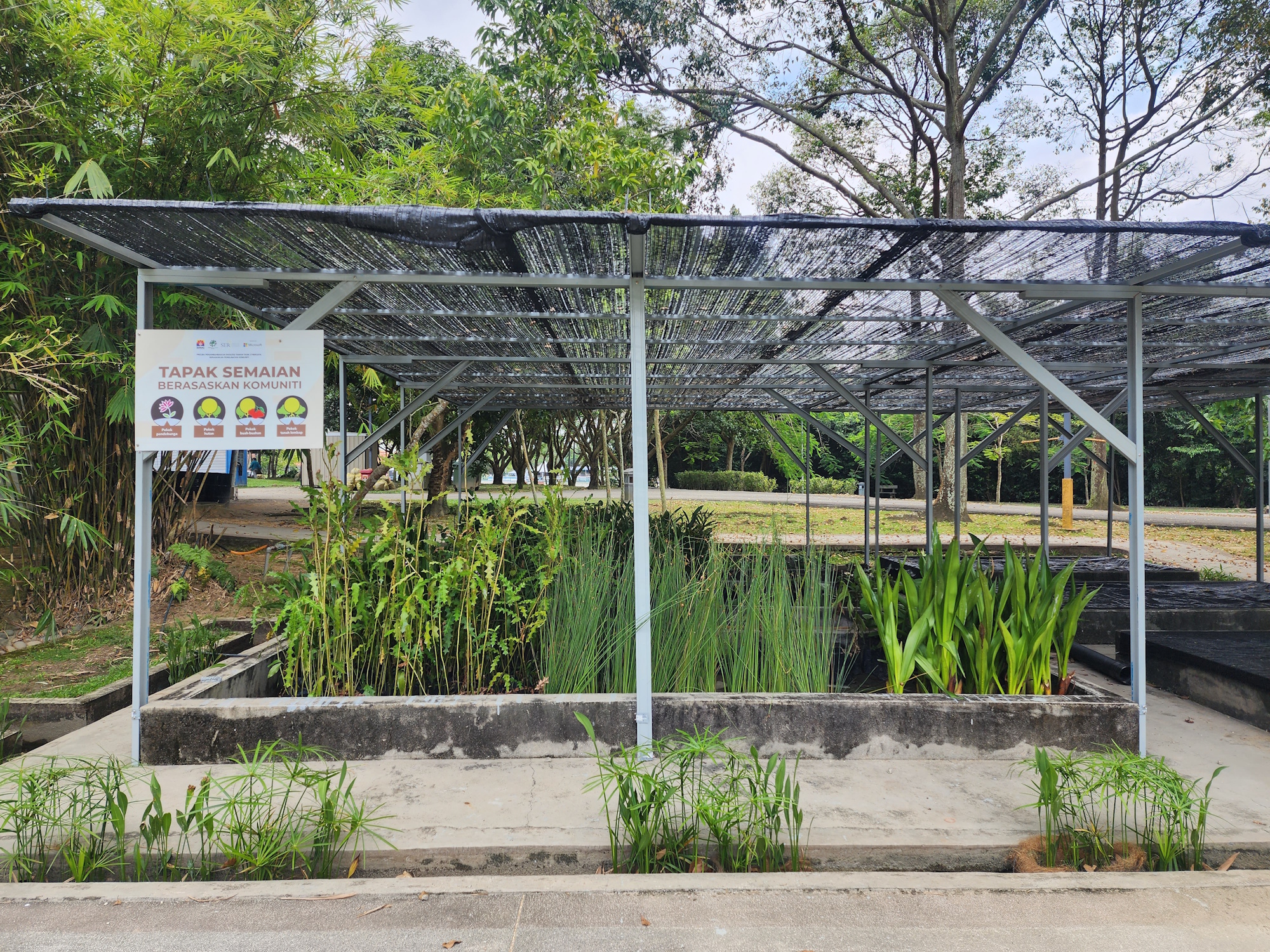
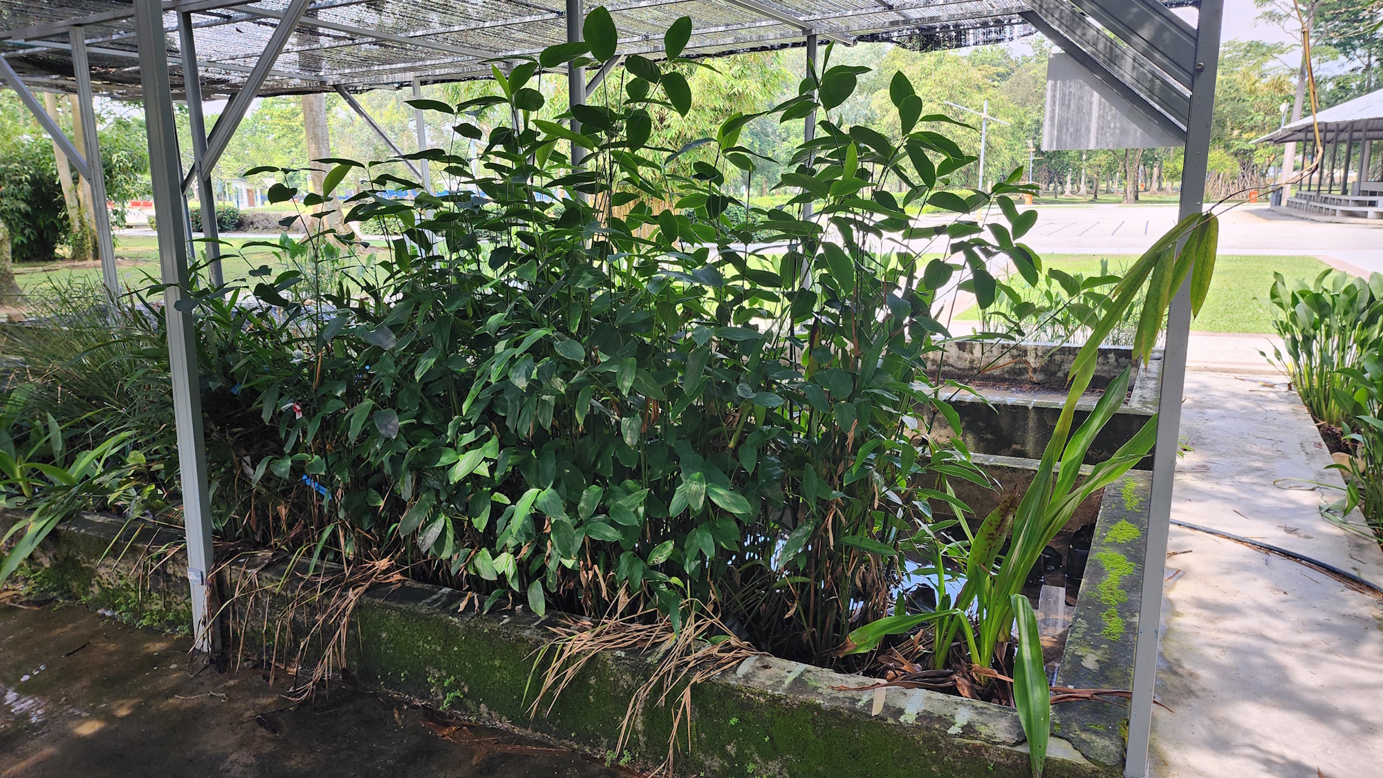
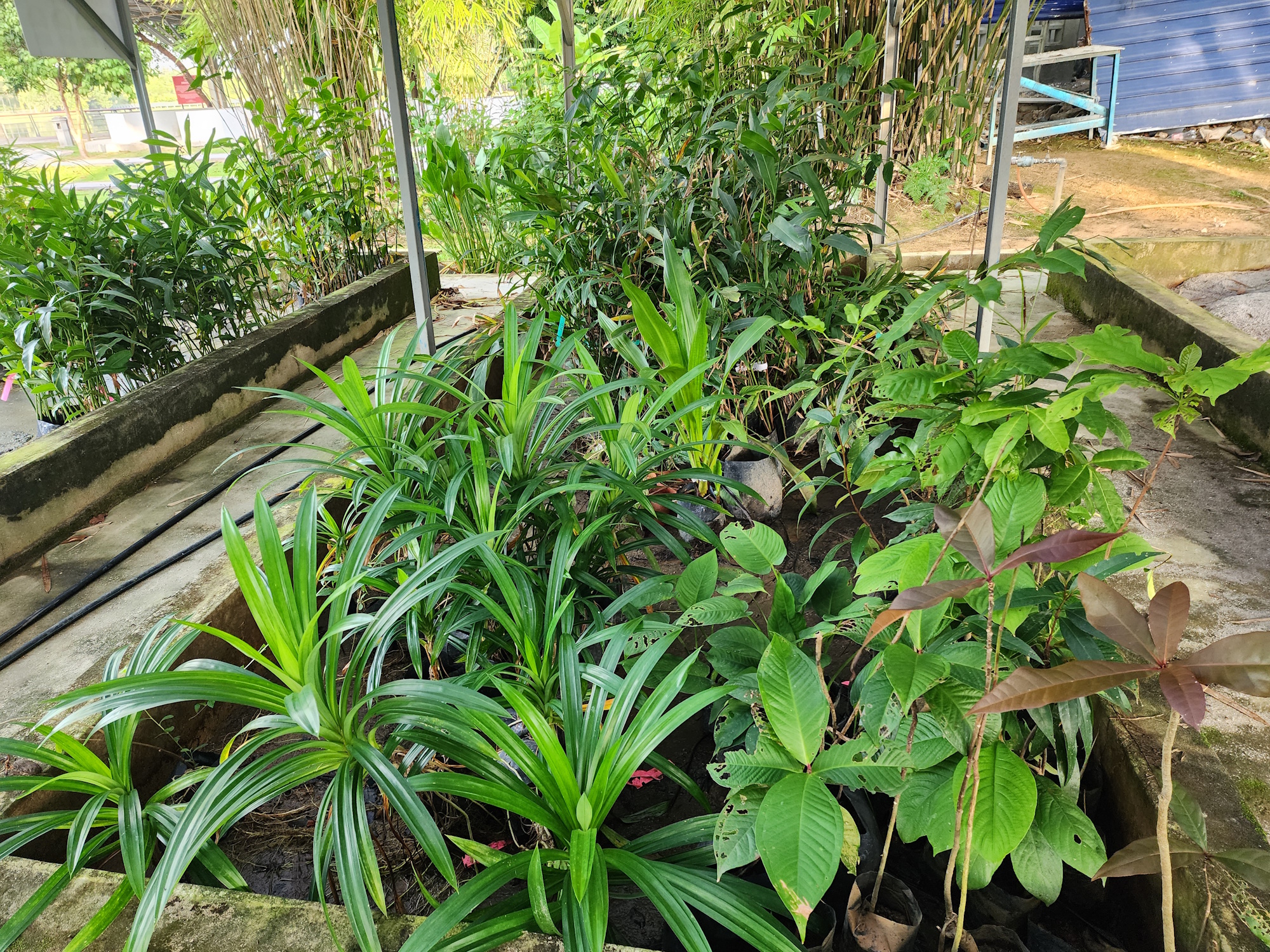
- Lake restoration activities through Nature-based Solution (NbS)
- Implement community-based initiatives and lake education through empowerment activities
- Organise a major lake education and clean-up event
Rapid Environmental Assessment (REA)
Assessment Period: September 2024 – June 2025
The Rapid Environmental Assessment was designed as a data-driven baseline study to understand the current condition of Taman Aman Lake and its catchment. This assessment forms the scientific backbone of the lake’s long-term restoration plan. The REA focused on three main pillars: catchment & stakeholder profiling, lake physical-chemical conditions, and biodiversity.
1) Overall Catchment Condition & Stakeholder Profiling
The surrounding catchment plays a key role in contributing both runoff and pollution loads to the lake. This component involved:
- Stakeholder Consultations: Engagements were held with MBPJ, NGOs, and community members to gather input, validate assessment data, and ensure inclusive decision-making.
- Pollution Source Inventory: Drainage inlets, stormwater channels, and potential pollutant entry points were identified and verified through on-ground inspections and mapping.
- Land Use & Drainage Mapping: The surrounding land was mapped using GIS tools and aerial imagery, focusing on residential zones, green areas, and recreational parks that contribute to runoff patterns.
- Community Perception Survey: More than 100 responses were received (online and in-person), providing insights into public awareness, environmental concerns, and expectations for lake rehabilitation.
2) Lake Physico-Chemical Properties & Profile
To understand the lake’s health, a set of lakewide tests and measurements were conducted.
Water Quality Analysis: Ten stations across the lake were sampled to test for parameters such as:
- Temperature, pH, turbidity, dissolved oxygen (DO)
- Nutrient levels (nitrates and phosphates)
- Bacterial indicators (e.g., E. coli) and heavy metals
Bathymetric Survey & Muck Depth Assessment:
- Depth measurements and sediment profiling using sonar and manual probing techniques helped evaluate sediment accumulation and lake volume reduction
Plankton Sampling:
- Plankton were collected vertically at 3 longitudinal stations using net tows. The balance between phytoplankton and zooplankton was assessed to evaluate ecological stressors such as nutrient loading and eutrophication
3) Lake Biological Assessments
Biodiversity is a key indicator of ecosystem function and resilience. This component included:
- Fish & Aquatic Fauna Assessment: Included observational studies and limited toxicity testing to identify stress in aquatic life
- Odonata (Dragonfly) Survey: Dragonflies serve as ecological indicators due to their sensitivity to water quality. Species diversity was recorded along lake margins
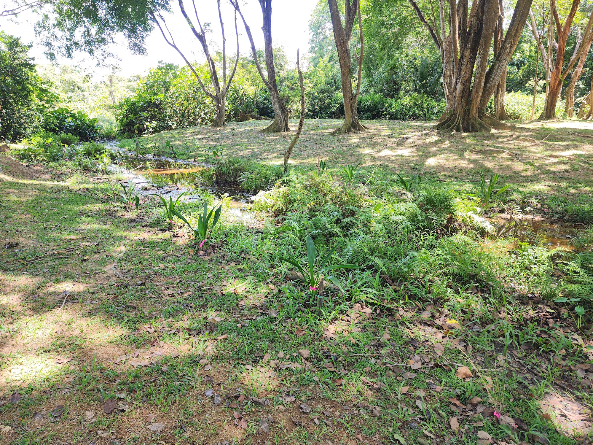
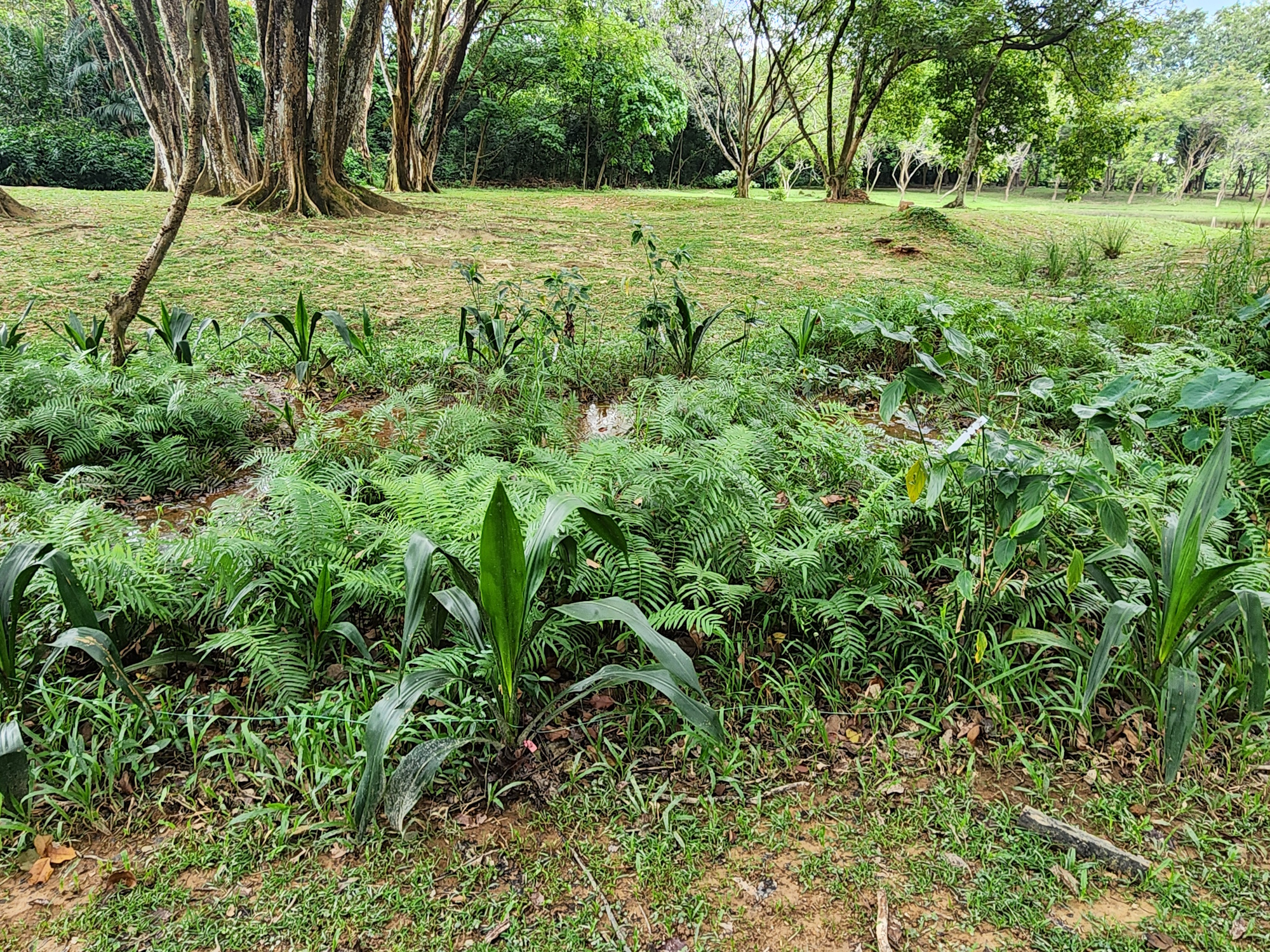
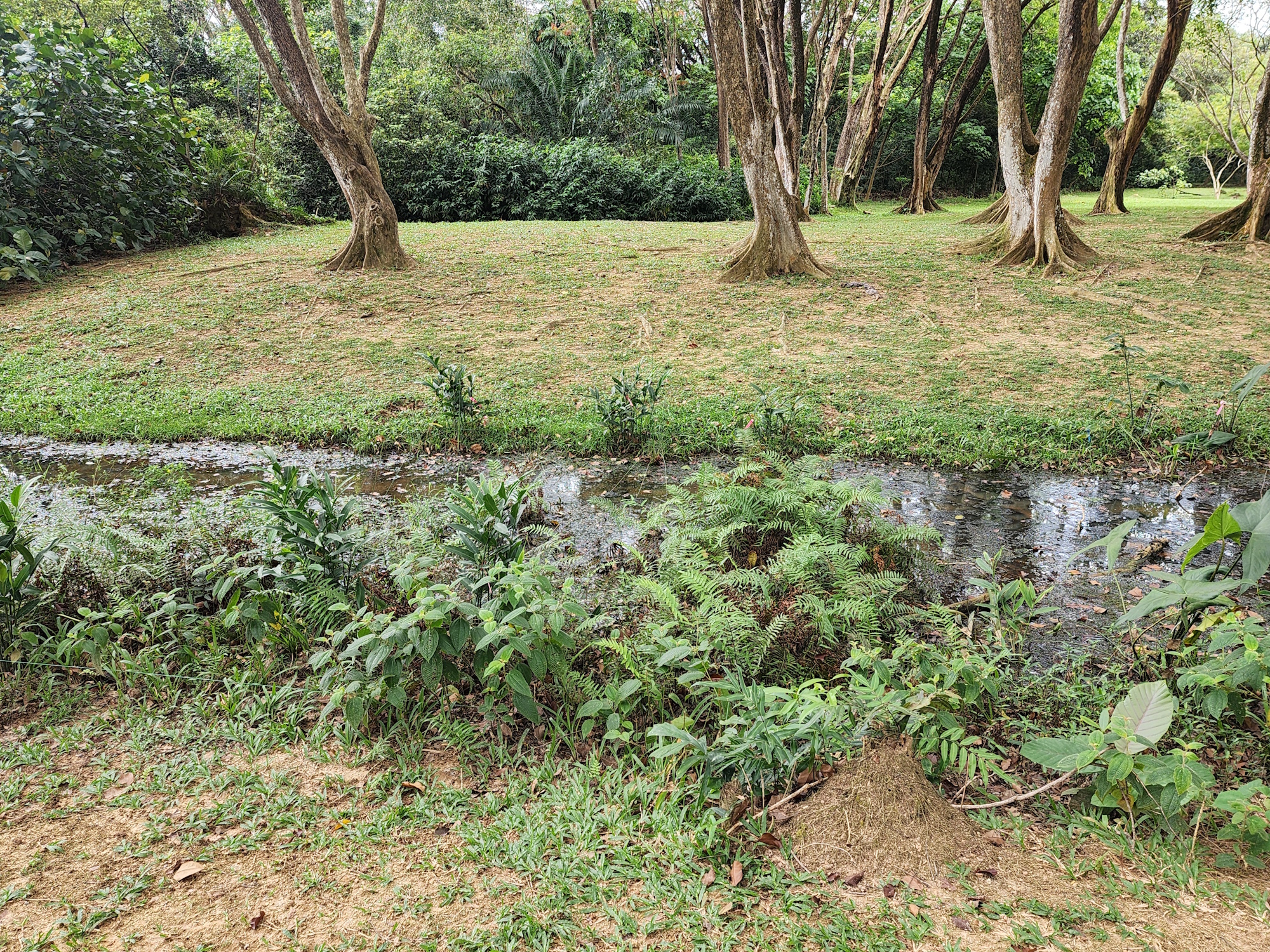
- Flora Survey: Vegetation mapping was conducted around the lake park, including wetland patches and riparian zones. Native and invasive species were documented
- Lake Wetlands Observation: Preliminary visual assessments were conducted on the natural wetland patches around the lake to evaluate their ecological integrity and restoration potential